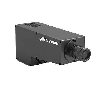
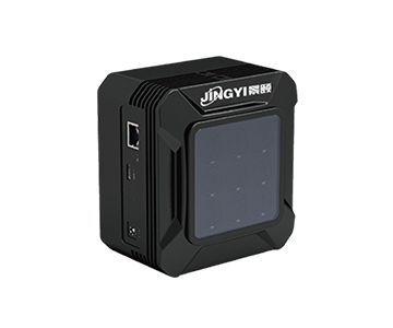
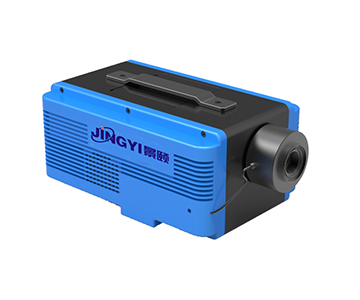
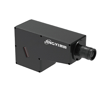
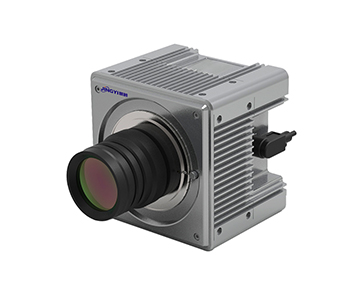
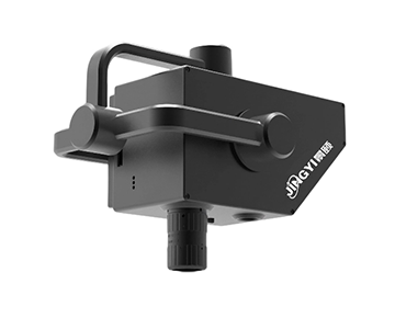
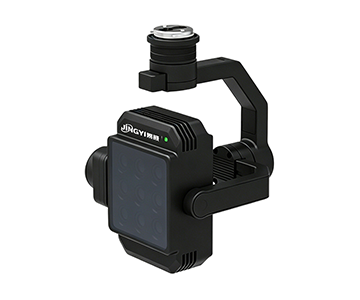
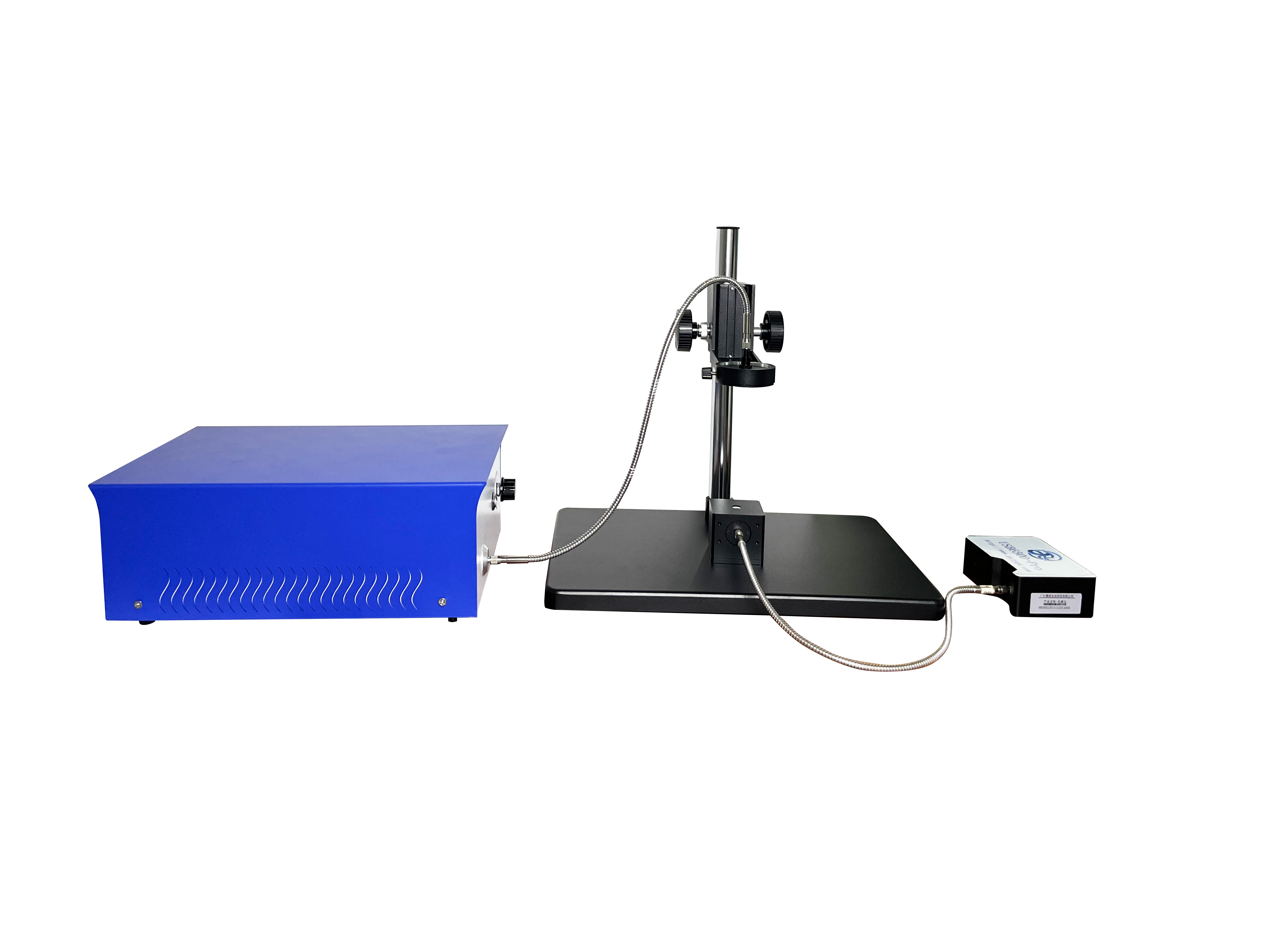
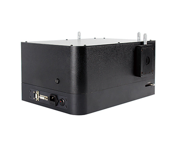
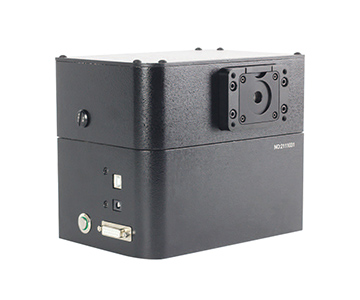
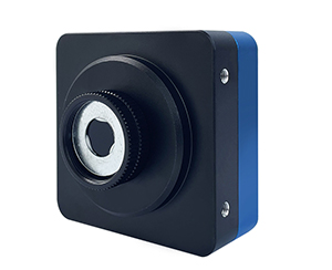
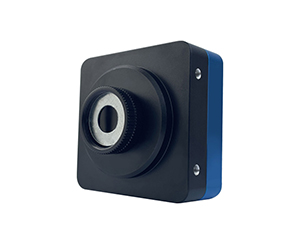
Integration time in airborne multispectral cameras determines single-frame light exposure duration, directly impacting overexposure risk, frame rate limits, band registration, and image transmission stability. In UAV low-
Why Agriculture and Recycling Need Spectrum-Aware Cameras
A standard RGB camera captures only three broad bands—red, green, blue. For a crop field, this is like trying to diagnose plant stress with a box of three crayons. Leaf reflectance in the red-edge and near-infrared regions changes days before visible color shifts appear. At a large agricultural operation in Southeast Asia, manual field scouting once required two teams starting before dawn and covered only about 120 acres per day. Latent disease spots were typically missed until they became visually obvious, leading to mistimed pesticide application that cost roughly $21,100 per incident.
Airborne multispectral systems capture multiple narrow bands simultaneously, recording the “reflectance ID” of every square meter. When a UAV flies a low-speed transect, unstable integration time causes bright ridges to saturate and dark ditches to drown in noise. The resulting NDVI and NDRE index maps shift systematically. For B2B buyers, the real question is not “Can it fly?” but “Can the data go directly into a variable-rate prescription map without ground-truth correction?”
Core Components Breakdown: Think of It as a Light-Splitting Eye
Multi-Channel Sensors: Like a Stack of Film Strips
The sensor array is not a single sheet but seven or eight “films” exposed in parallel. Each channel corresponds to a specific wavelength. Pixel size determines “grain coarseness”—smaller pixels yield finer ground sample distance (GSD). At 120 m (≈400 ft)
Integration Time: The Curtain Open Duration
Integration time is the duration the sensor “keeps its eyes open” to gather photons. Unlike a simple shutter speed, it directly dictates per-frame light intake. Under harsh midday sun, excessive integration causes band saturation—reflectance curves get clipped at the top. During overcast or dusk conditions, insufficient integration lets weak signals drown in detector noise, biasing vegetation indices low. Pushbroom systems must also lock integration to ground speed: fly fast with long integration, and scan lines overlap or misalign.
This means in both field patrol and production-line inspection, integration time cannot be a fixed factory preset. It must adjust dynamically to ambient light, cloud cover, and platform velocity.
Downward Light Sensor: A Built-In Light Meter
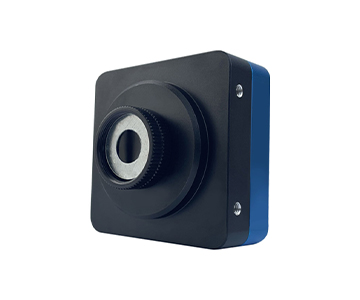
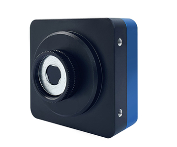
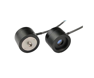
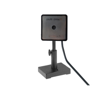
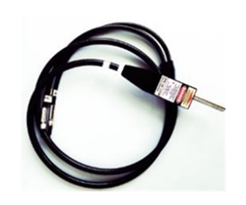
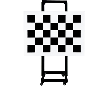
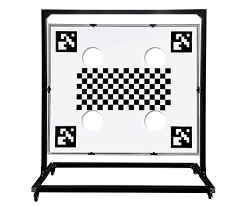
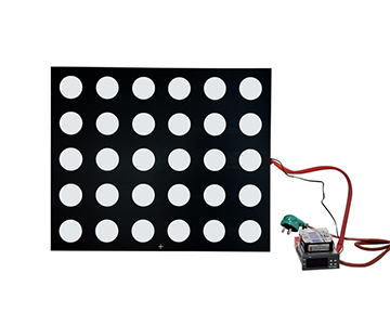
A small downward-facing probe mounted on top of the multispectral camera continuously records incident illuminance. When a cloud temporarily blocks the sun, the light changes. Relying solely on the camera’s internal exposure would produce inconsistent reflectance values for the same field patch across two images. Downward light correction subtracts the “how bright was the sky” factor, enabling mosaicking and comparison. The evaluated system supports a four-step pipeline: spectral calibration, radiometric calibration, illuminance correction, and distortion correction—essentially a firewall against light fluctuations corrupting the data.
Analysis Software: The He
Raw images are just digital numbers (DN) with no physical meaning. The software converts each channel using calibration coefficients into reflectance, then applies NDVI, NDRE, or other formulas to output red-yellow-green heat maps. For procurement teams, whether the software includes built-in index models decides if you can “fly and view” on site or spend half a day processing in ENVI back at the office.
Two Industry Applications: From Fields to Production Lines
Crop Scouting: Capturing Early Disease with Red-Edge Bands
A field technician at a large rice cooperative in southern China used a mainstream UAV-mounted multispectral camera during the booting stage. The 7+RGB system’s 720 nm and 750 nm red-edge narrow bands were the focus. With integration time set to a shorter value suitable for noon light, the red-edge reflectance inflection point stayed sharp. Software generated NDRE maps in real time: weak seedlings flagged yellow, severe disease patches red. What previously took half a day of manual sampling was replaced by a single flight covering hundreds of acres. Variable-rate fertilizer prescription maps were sent directly to spray drones, cutting fertilizer waste by an estimated 37.8%.
Key point: red-edge band registration depends on multi-channel synchronous exposure. If integration times drift between channels, red-edge and NIR images misalign by several pixels, making post-processing labor-intensive.
Plastics Sorting: Pushbroom Hyperspectral on Conveyor Belts
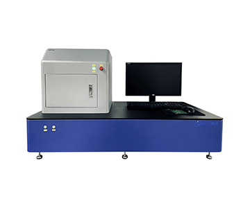
A plastics recycling facility in northern Vietnam added a pushbroom hyperspectral camera to its sorting line. Instead of a few broad bands, it scans 400–1700 nm continuously. PET, PVC, and PP each have distinct absorption peaks in the shortwave infrared—like fingerprint matching. The pushbroom unit builds a data cube line by line as the conveyor moves. At 50 fps, the data cube writes to internal storage in real time. Here, integration time must match belt speed: fast belt with long integration causes motion blur; slow belt with short integration fails to capture weak NIR signals.
In online monitoring, integration time is not a line in a spec sheet; it is a process variable tied to production节拍.
Three Common Misconceptions
Misconception 1: Higher pixel count is always better.
A 3.2 MP sensor is not inherently superior to a 1.5 MP one for multispectral work. Value lies in whether bands target the feature of interest. Crop vigor demands red-edge; plastic sorting needs SWIR absorption. Without the right narrow bands, extra pixels are wasted.
Misconception 2: Hyperspectral will replace multispectral.
Hyperspectral data volume is 20–50× larger, ballooning storage, stitching, and modeling costs. For large-area crop patrol, using only hyperspectral strains flight time and bandwidth. Multispectral fits high-frequency, broad-area index monitoring; hyperspectral suits lab samples, material sorting, and research inversion. Choose by frequency and precision needs, not by channel count.
Misconception 3: Exposure can be fixed; fix it later in software.
Overexposed pixels clip permanently; underexposed pixels bury signal in noise. Radiometric calibration cannot recover lost information. Integration time must be preset based on lighting before takeoff, with downward light correction as a mid-flight safety net. Pushbroom devices also need speed-linked tuning—otherwise scan lines misalign and data is discarded.
Advanced Resources (Third-Party Standards)
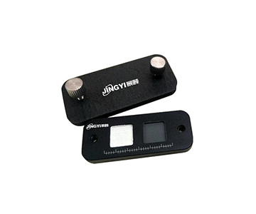
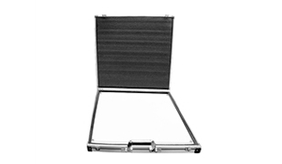
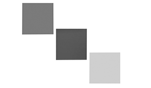
•ISO 19159-1:2014 Geographic information — Calibration and validation of remote sensing imagery provides radiometric calibration guidelines, including requirements for synchronous white panels and recording center wavelengths—useful for project acceptance.
•GB/T 47066-2026 “Plastics — Determination of total transmittance and total reflectance” applies when hyperspectral sorting results need transmittance/reflectance复核. Note: this standard has no direct causal link to integration time; it serves only as a reference for optical property measurement.
•Public university remote sensing course materials explaining NDVI = (NIR − Red) / (NIR + Red) are suitable for training UAV operators.
•Industry white papers often cite GSD (Ground Sample Distance) =
Objective Review and Limitations
A 7+RGB airborne multispectral system is not a universal solution. Fixed bands at 450/550/650/720/750/800/850 nm cannot capture features beyond 900 nm (e.g., certain minerals, deep water absorption), requiring a hyperspectral or SWIR upgrade. Integration time itself has boundaries: full-channel trigger caps at roughly 1 fps. In high-speed patrol or narrow-strip pushbroom scenarios, frame rate limits overlap ratio; operators must either reduce flight speed or sacrifice some channel synchronization. Hyperspectral pushbroom systems, while information-rich, demand 1 TB storage, onboard processing, and heavy post-processing. For a county-level monitoring station doing quarterly vigor checks, multispectral offers better ROI; for research inversion, hyperspectral justifies the cost.
FAQ
Q1: What happens if integration time is set too long?
Overexposure destroys detail. At strong noon light, excessively long integration saturates red-edge channels, clipping the top of reflectance curves. Calculated NDVI drops artificially low, and disease boundaries appear gray instead of distinct red.
Q2: How to choose between multispectral and hyperspectral?
Base the decision on task frequency. For large-area crop patrol, vegetation indices, and pest warnings, multispectral is lighter, faster, and more cost-effective. For material composition, plastic sorting, or sample-level spectral fingerprinting, hyperspectral provides the necessary detail despite higher weight and cost.
Q3: Why does real-time video look fine but post-processing fails?
Usually due to missing radiometric correction or integration time mismatch. Without compensating for ambient light changes, two adjacent fields show brightness discontinuities when mosaicked. Band registration offsets also cause index maps to shift.
Q4: What three questions should buyers ask suppliers?
First, do the bands cover your target feature wavelength? Second, is multi-channel synchronous exposure supported? Third, can integration time adjust dynamically with light and flight speed? Always request sample images from the same scenario.
Q5: How can I independently verify equipment reliability?
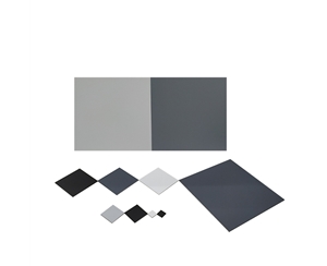
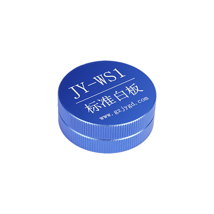
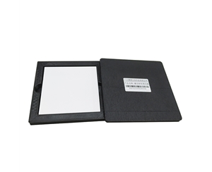
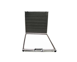
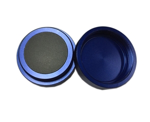
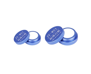
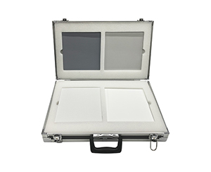
Engage a third-party calibration lab or use a standard reflectance panel on site. Measure known samples under identical lighting and compare reflectance curve consistency. Never rely solely on sales demo images for procurement decisions.
Conclusion and Further Reading
Airborne multispectral imaging is not “higher-resolution aerial photography.” It is a tool that splits light into wavelengths and converts reflectance into computable indices. Integration time may look like a simple shutter setting, but it gates overexposure, frame rate, registration, and post-processing credibility. During selection, evaluate it alongside flight speed, lighting, and storage—not as an afterthought to pixel count.
For detailed specifications and application notes on airborne multispectral cameras, search “Jingyi Optoelectronics airborne multispectral camera” or visit our technical library.
Editorial Notes
Research Basis
: User-uploaded product documentation, GB/T 47066-2026, publicly available agricultural remote sensing image preprocessing specifications, and industry application reports.
Reviewed by
: Cai Xiaodong, Senior Application Engineer at Jingyi Optoelectronics, with 12 years of experience in optical precision measurement equipment.
Sponsorship Disclosure
: Jingyi Optoelectronics manufactures airborne multispectral and hyperspectral cameras. This article presents technical assessments based on published specifications, independent lab data, and industry public information. No third-party compensation was received.
Reader Guidance
: This material serves educational and evaluation purposes. Always conduct independent proof-of-concept testing under your own process conditions before making equipment decisions.
Publication Date
: October 2026